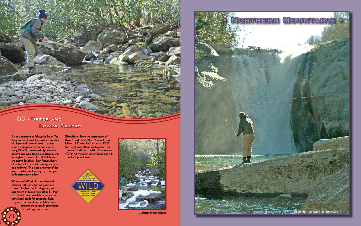
Labels:backpack | door | earth | grass | homo sapiens | mountain | person | plant | river | rock | sky | tree | world OCR: NoRtHern MountAins 65 UPPER AND LOWER CREEKS A nice soj ynos ayy u!yFy cq angwaye Directions: From the intersection of River isatrp the somall stream onp Hwy 221 in Marion 6low of Upper nd Lower Creele Looto US70 NC80 in very clos aximity ahothe Turm right onte pu08 continu for 13.9 along FSR 472, elevatior miles to F Contrue cn anexo lentdaytrip 472 for 1.6 miles Creel and4 in searct a Rainbow Uppe and native Brookies Both feature short hikes beautif cener pue ellent fshir eximity c the wil anglers to ample both easi within a day When andWhat Mid Lowe October is the time Anelr to visit Upper and WILD ssortment of basic drie such a TEkHair Caddis and Parachute Adarms, well as some heads for dropper Keer simpk as the fsh are generally opportunis ticand eage to pleas Photos by Ben Wigg Mount ...